Editable vector maps · Adobe Illustrator & EPS
Files delivered within 12 h · 95% in under 1 hour
Secure payment by card or PayPal
Home › Americas › United States
Country

Vector maps of the United States

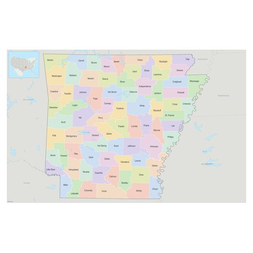
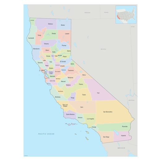
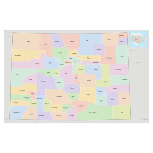
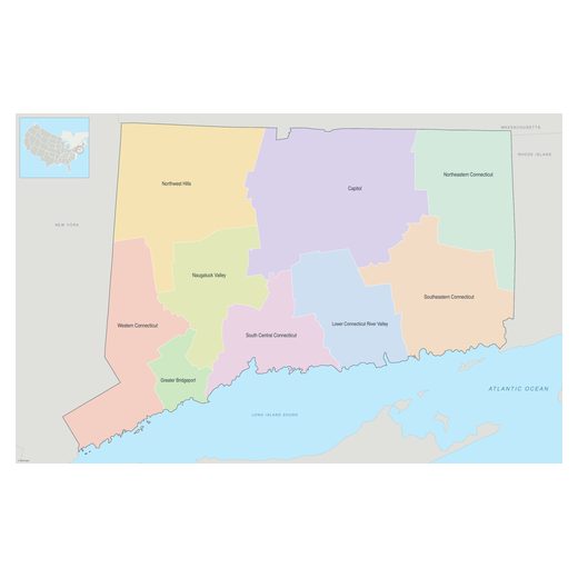
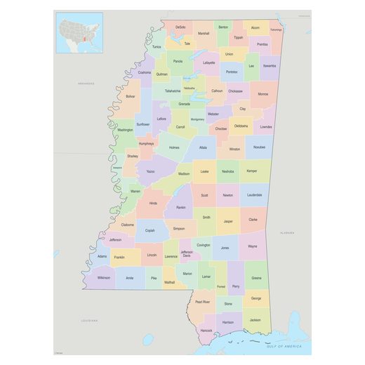
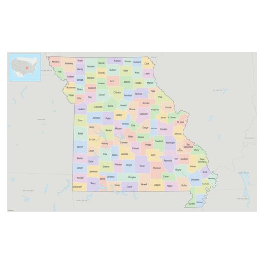
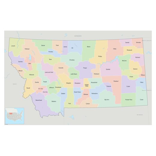
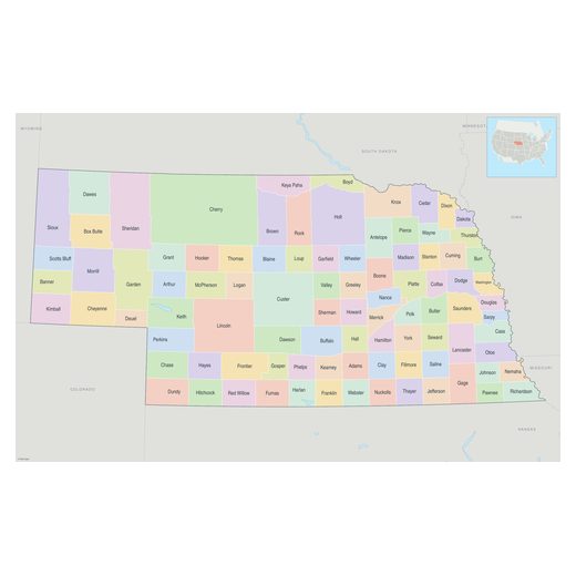
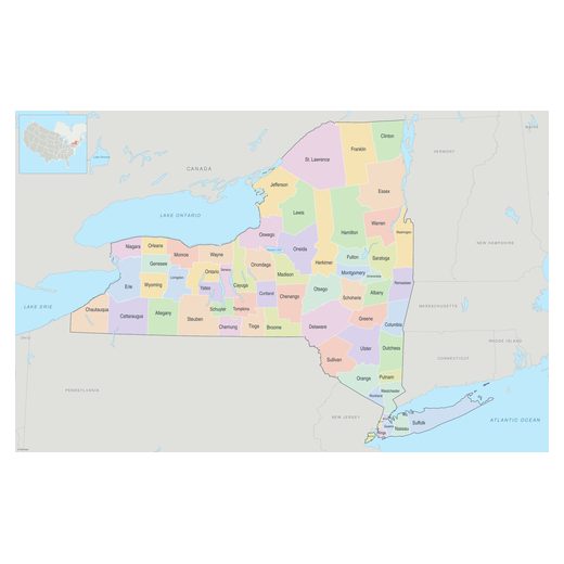
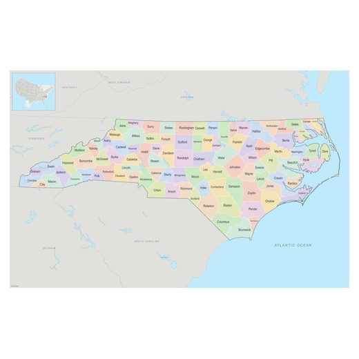
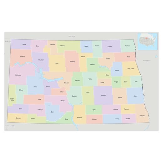
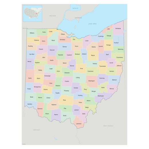
155 maps of the United States as editable vector files for Adobe Illustrator and EPS, organised by states. From €18.00, delivered by email within 12 hours.

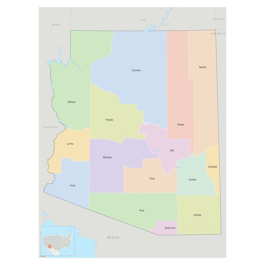
Alabama · 1 mapAlaska · 1 mapArizona · 2 mapsArkansas · 1 mapCalifornia · 15 mapsColorado · 4 mapsConnecticut · 1 mapDelaware · 1 mapDistrict of ColumbiaFlorida · 12 mapsGeorgia · 4 mapsHawaii · 1 mapIdaho · 1 mapIllinois · 5 mapsIndiana · 2 mapsIowa · 2 mapsKansas · 1 mapKentucky · 1 mapLouisiana · 4 mapsMaine · 1 mapMaryland · 2 mapsMassachusetts · 2 mapsMichigan · 5 mapsMinnesota · 3 mapsMississippi · 1 mapMissouri · 4 mapsMontana · 1 mapNebraska · 1 mapNevada · 3 mapsNew Hampshire · 1 mapNew Jersey · 1 mapNew Mexico · 1 mapNew York · 8 mapsNorth Carolina · 3 mapsNorth Dakota · 2 mapsOhio · 3 mapsOklahoma · 3 mapsOregon · 4 mapsPennsylvania · 5 mapsRhode Island · 2 mapsSouth Carolina · 2 mapsSouth Dakota · 1 mapTennessee · 4 mapsTexas · 10 mapsUtah · 5 mapsVermont · 1 mapVirginia · 2 mapsWashington · 6 mapsWest Virginia · 1 mapWisconsin · 2 mapsWyoming · 1 mapNew York · 8 mapsAlbany · 1 mapAtlanta · 3 mapsAustin · 1 mapBaltimore · 1 mapBaton Rouge · 1 mapBismarck · 1 mapBoston · 1 mapCharleston · 1 mapCharlotte · 1 mapChicago · 4 mapsCincinnati · 1 mapCleveland · 1 mapDallas · 3 mapsDenver · 3 mapsDes Moines · 1 mapDetroit · 3 mapsEugene · 1 mapFargo · 1 mapFort Lauderdale · 1 mapFort Worth · 1 mapFresno · 1 mapGrand Rapids · 1 mapHouston · 4 mapsIndianapolis · 1 mapJacksonville · 1 mapKansas City · 1 mapLafayette · 1 mapLas Vegas · 2 mapsLong Beach · 1 mapLos Angeles · 3 mapsMemphis · 2 mapsMiami · 4 mapsMilwaukee · 1 mapMinneapolis · 1 mapNashville · 1 mapNew Orleans · 1 mapNew York · 6 mapsOakland · 1 mapOklahoma City · 1 mapOlympia · 1 mapOrlando · 2 mapsPensacola · 1 mapPhiladelphia · 3 mapsPhoenix · 1 mapPittsburgh · 1 mapPortland · 2 mapsProvidence · 1 mapRaleigh · 1 mapRichmond · 1 mapSacramento · 1 mapSan Diego · 1 mapSan Francisco · 5 mapsSan Jose · 1 mapSeattle · 2 mapsSpokane · 1 mapSpringfield · 1 mapSt Louis · 1 mapTacoma · 1 mapTallahassee · 1 mapTampa · 1 mapTulsa · 1 mapWashington DC · 4 maps
United StatesClick a region or a city

Maps of the United States · 4

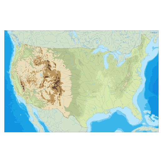
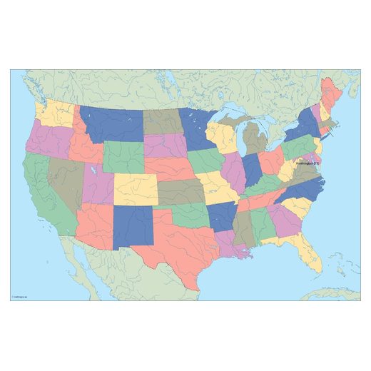
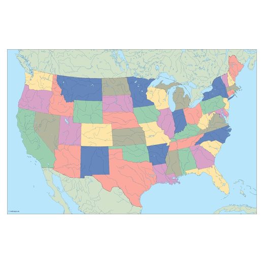
Political, blank, Illustrator and physical maps.
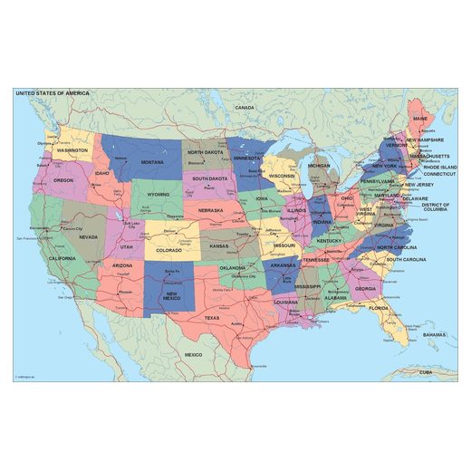
PowerPoint maps of the United States · 1

Editable maps for presentations: recolour every region in PowerPoint.
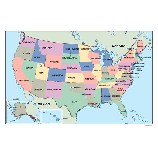
States of the United States · 50
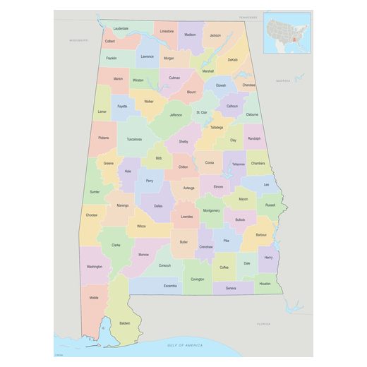
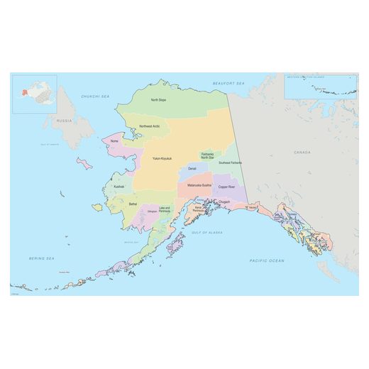
Cities with maps in the United States · 62

Vector maps of the United States

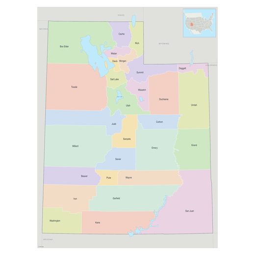
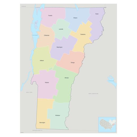
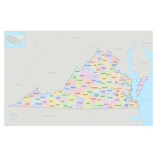
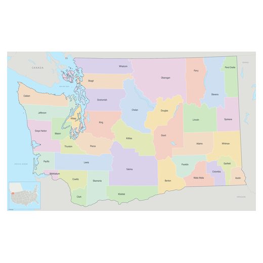
155 maps of the United States: Illustrator map, PowerPoint map, blank map, boroughs map, counties map, parishes map, planning regions map, political map…. Every map is an editable vector file: change colours, fonts and labels, add your own data and scale it to any size without losing quality. After payment we send the files to your email within 12 hours. Browse Alabama, Alaska, Arizona, Arkansas, California, Colorado, Connecticut, Delaware, Florida, Georgia, Hawaii, Idaho….