Home › Americas
Vector maps
Vector maps of the Americas
629 maps of 36 countries in the Americas: political, blank, Illustrator, city, thematic and PowerPoint maps, editable in Illustrator and EPS.
Maps of the Americas · 3
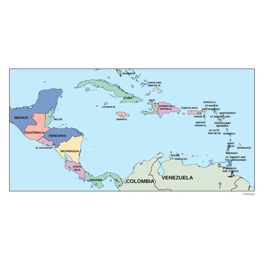
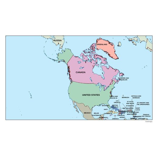
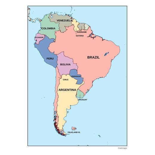
Countries of the Americas · 36
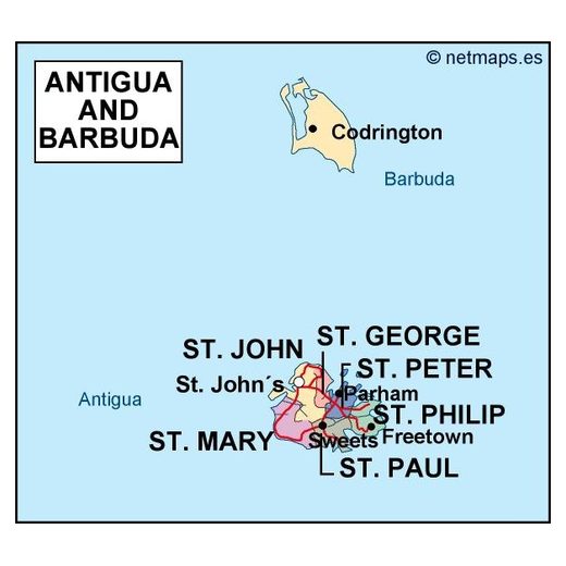
Antigua and Barbuda5 maps
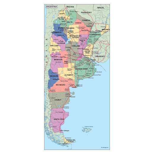
Argentina43 maps
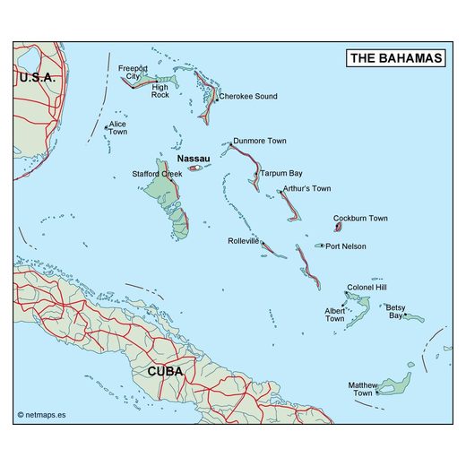
Bahamas5 maps
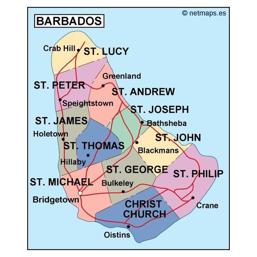
Barbados5 maps
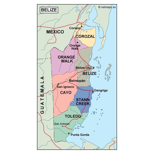
Belize5 maps
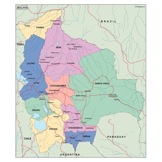
Bolivia20 maps
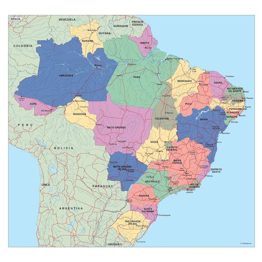
Brazil40 maps
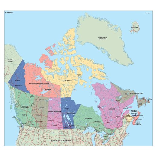
Canada23 maps
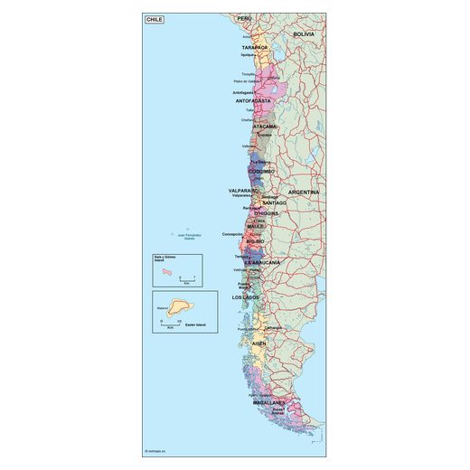
Chile19 maps
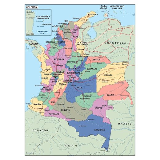
Colombia20 maps
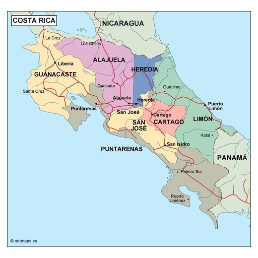
Costa Rica23 maps
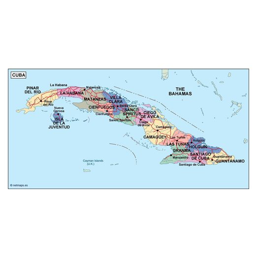
Cuba24 maps
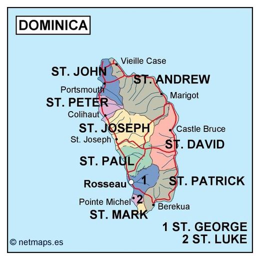
Dominica5 maps
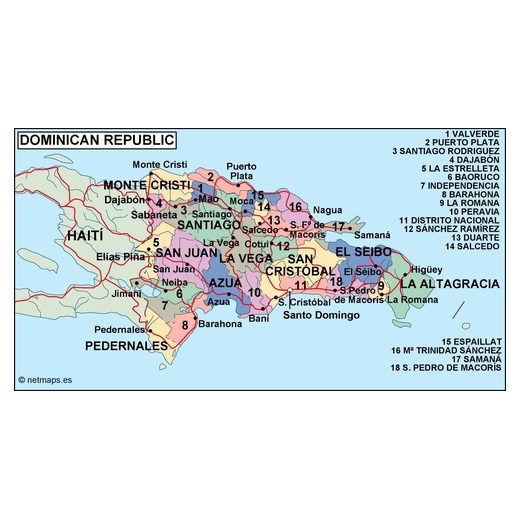
Dominican Republic7 maps
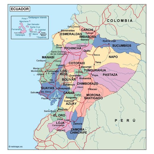
Ecuador20 maps
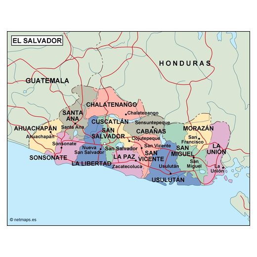
El Salvador20 maps
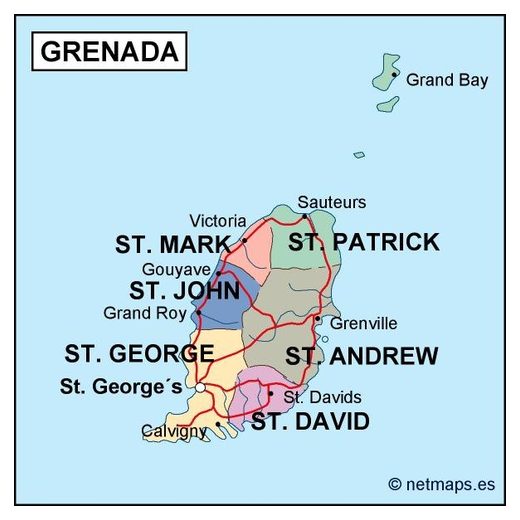
Grenada5 maps
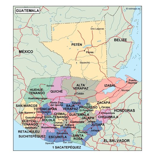
Guatemala22 maps
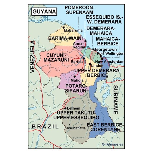
Guyana5 maps
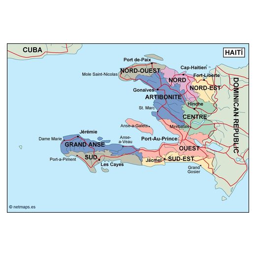
Haiti5 maps
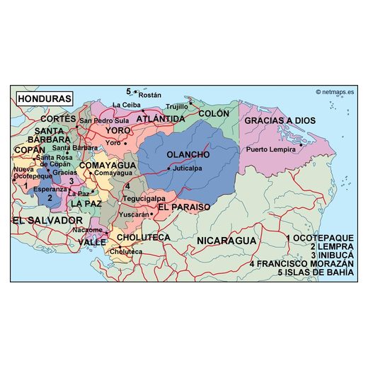
Honduras21 maps
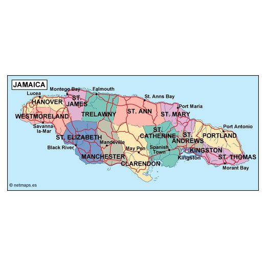
Jamaica5 maps
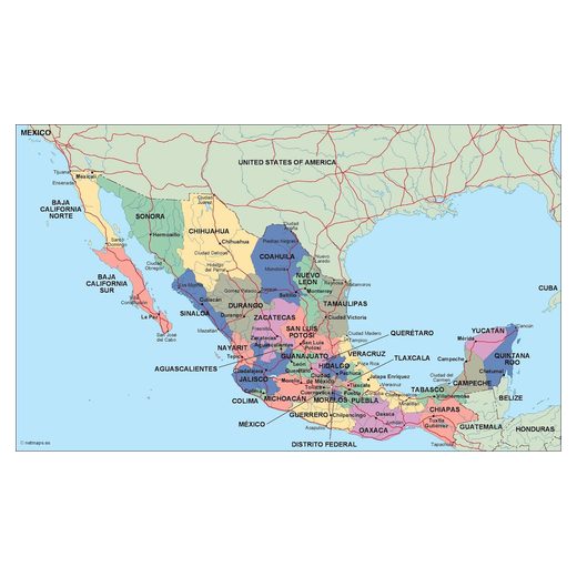
Mexico25 maps
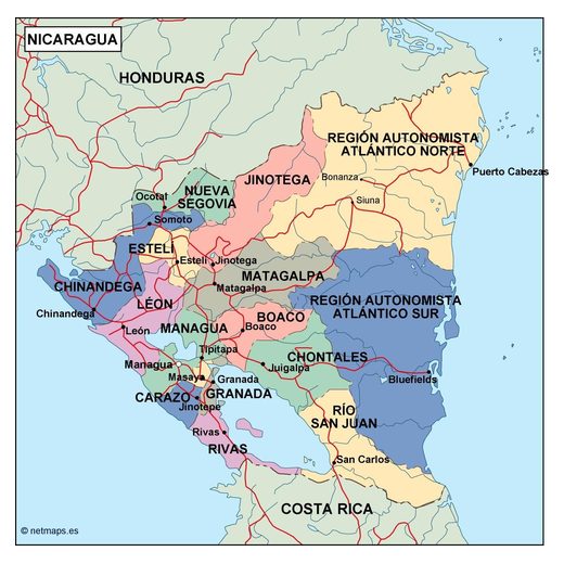
Nicaragua21 maps
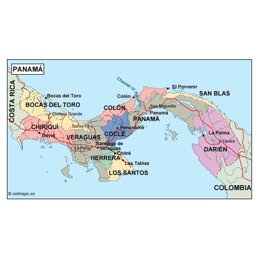
Panama22 maps
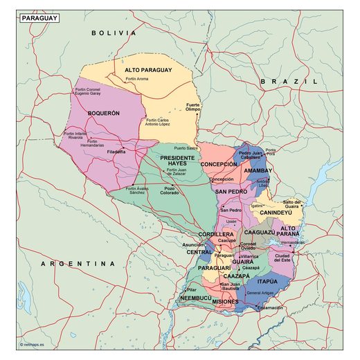
Paraguay7 maps
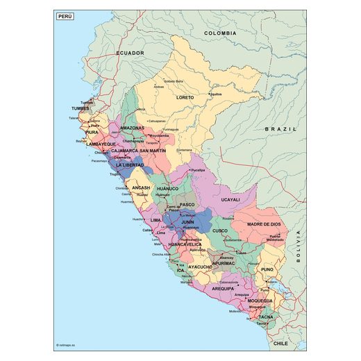
Peru5 maps
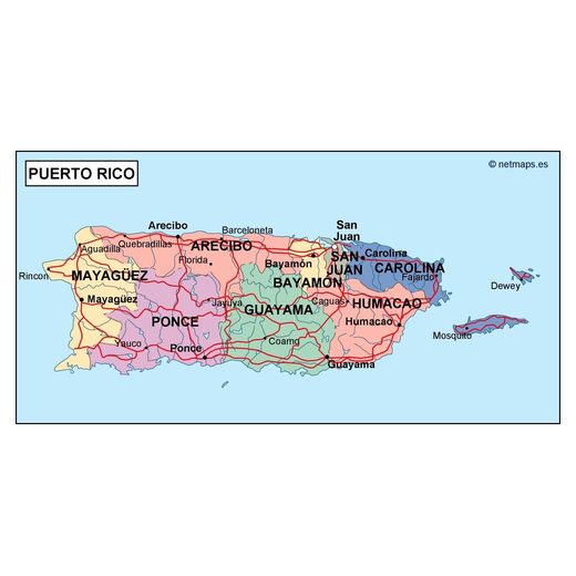
Puerto Rico7 maps
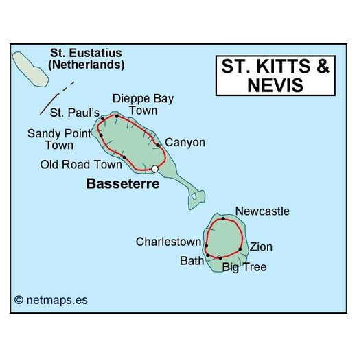
Saint Kitts and Nevis5 maps
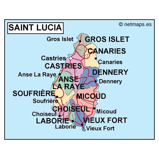
Saint Lucia5 maps
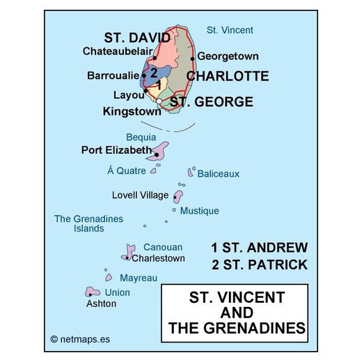
Saint Vincent and the Grenadines5 maps
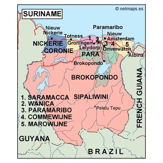
Suriname5 maps
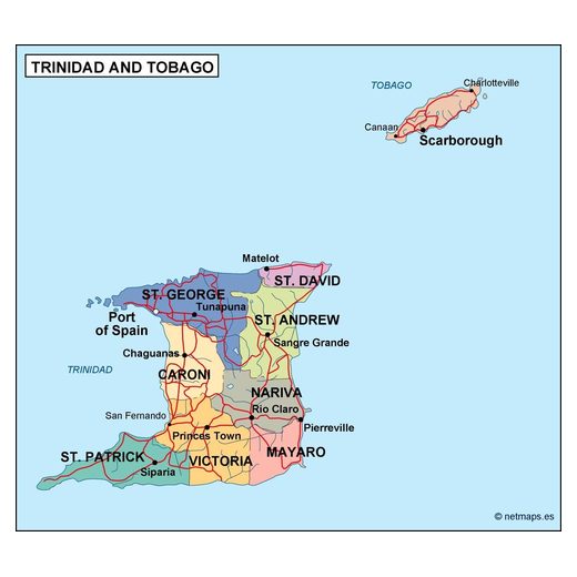
Trinidad and Tobago5 maps
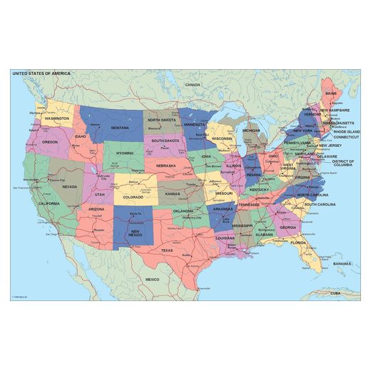
United States155 maps
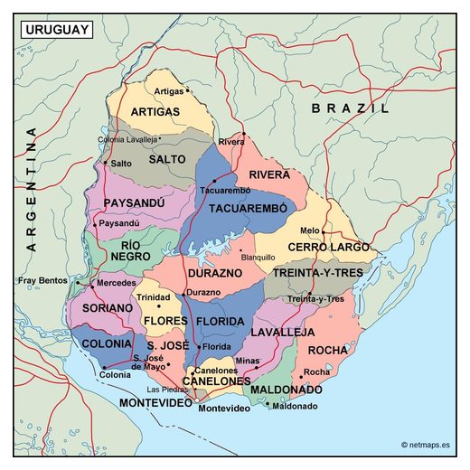
Uruguay7 maps
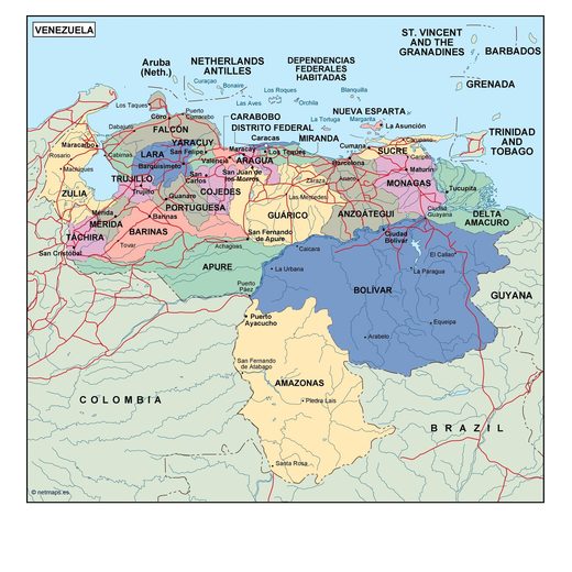
Venezuela5 maps
Editable vector maps of the Americas
Choose a country to see all its maps: country maps, regions, city plans and thematic maps. Every map is an editable vector file for Adobe Illustrator and EPS, sent to your email within 12 hours of payment.