Vector maps of Brazil
40 maps of Brazil as editable vector files for Adobe Illustrator and EPS, organised by states. From €18.00, delivered by email within 12 hours.
Maps of Brazil · 6
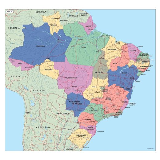
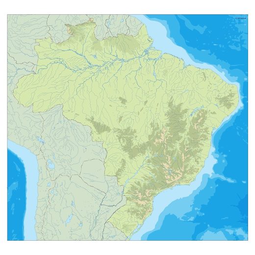
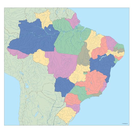
Political, blank, Illustrator and physical maps.
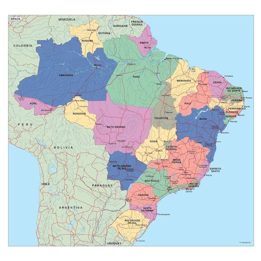
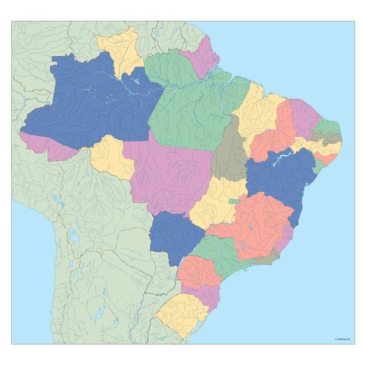
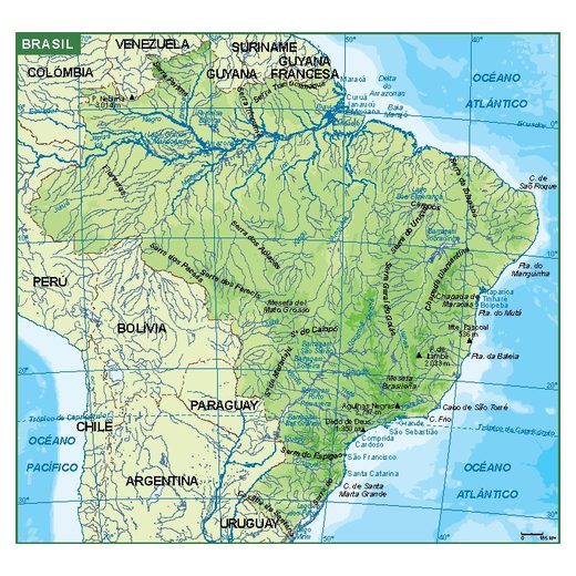
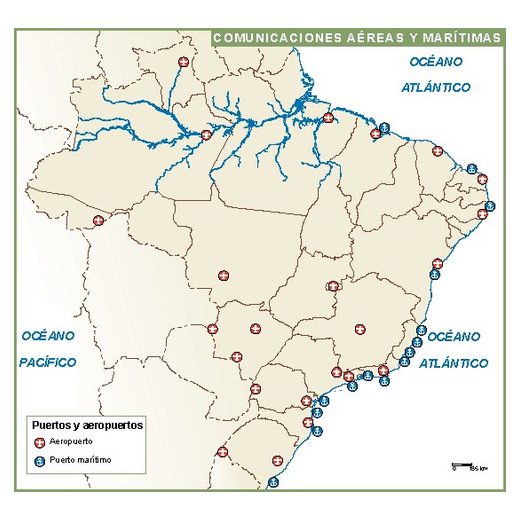
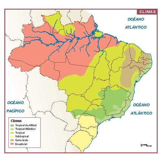
Thematic maps of Brazil · 13
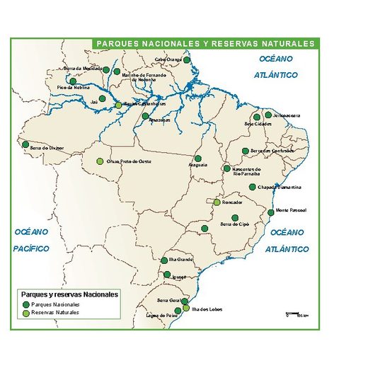
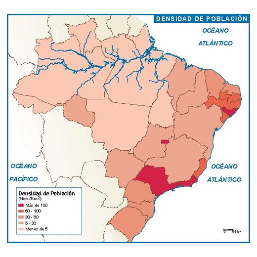
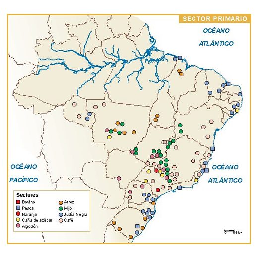
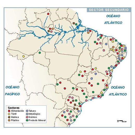
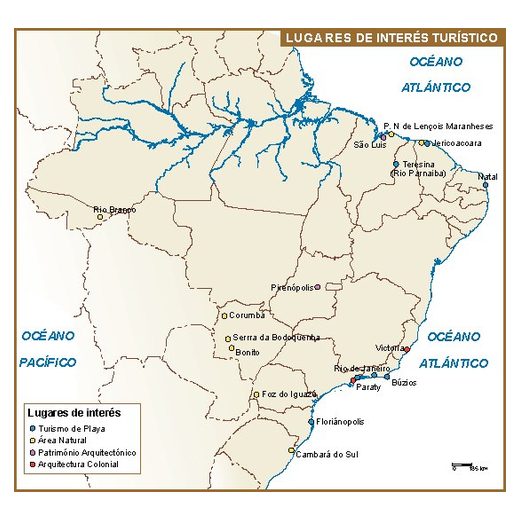
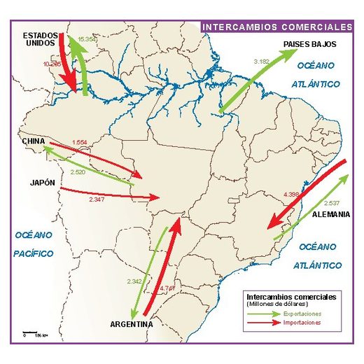
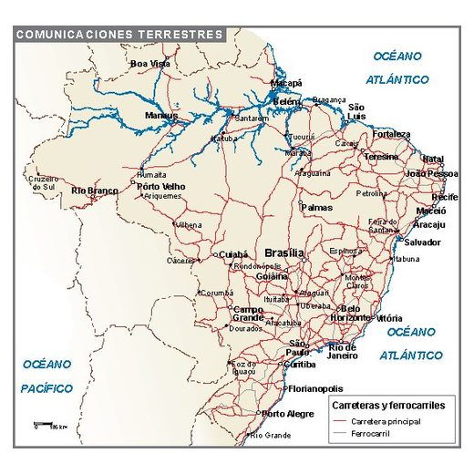
Climate, population, economy, transport and other thematic maps.
PowerPoint maps of Brazil · 1
Editable maps for presentations: recolour every region in PowerPoint.
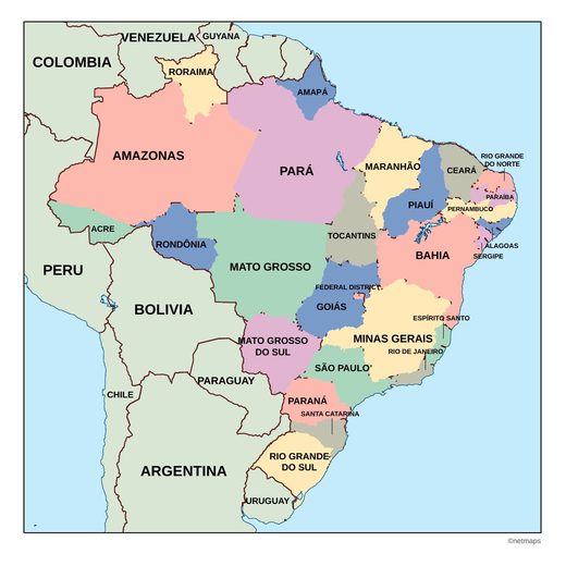
States of Brazil · 12
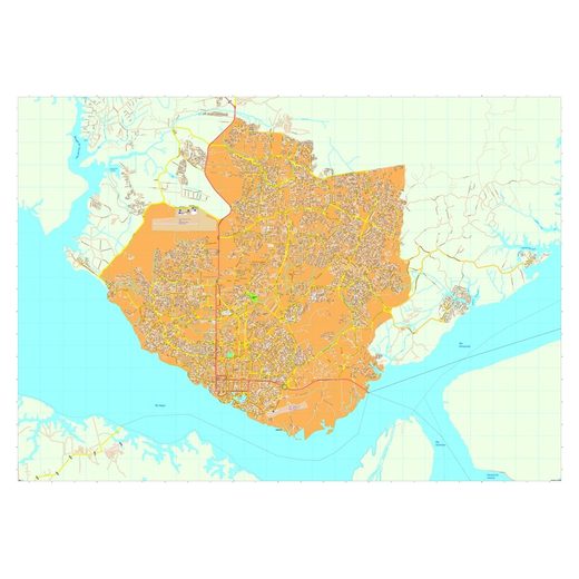
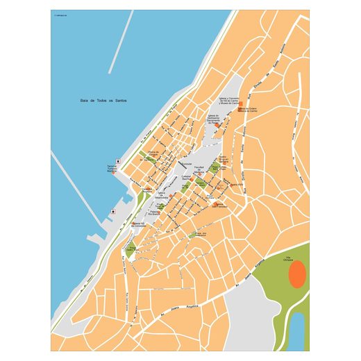
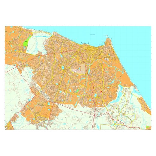
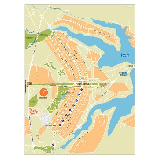
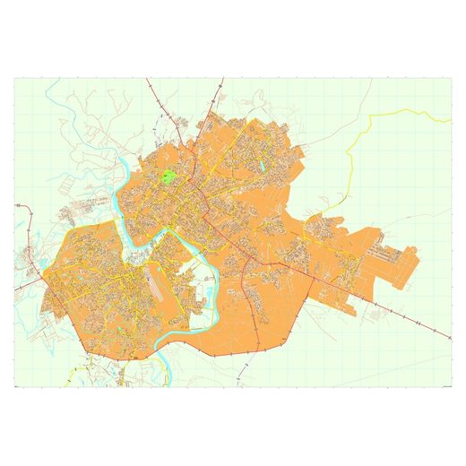
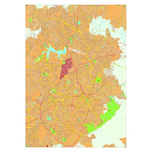
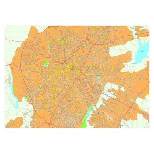
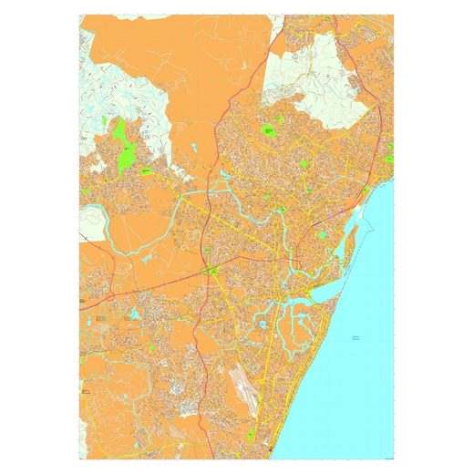
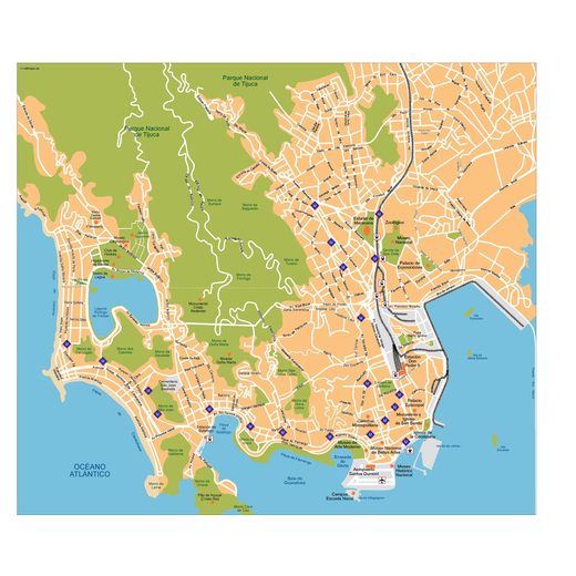
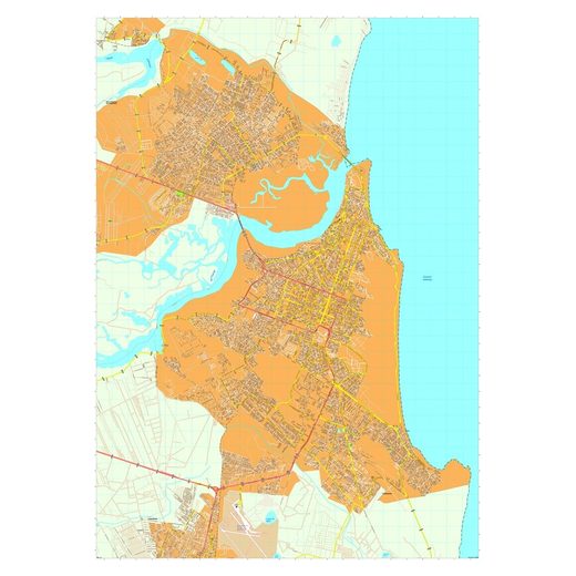
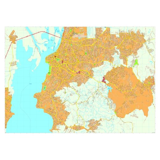
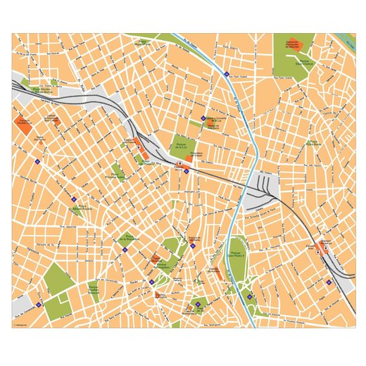
Cities with maps in Brazil · 12
Vector maps of Brazil
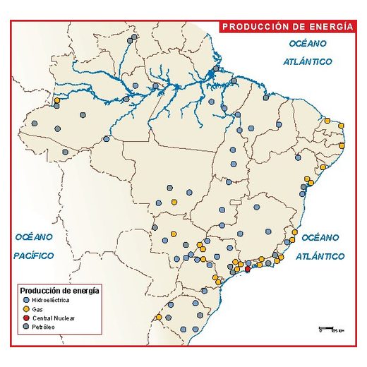
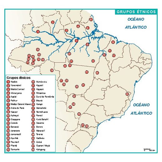
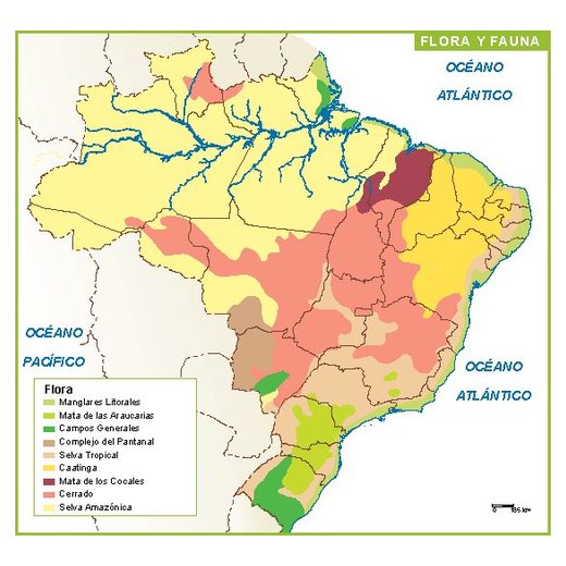
40 maps of Brazil: Illustrator map, PowerPoint map, airports and ports map, blank map, climate map, energy map, ethnic groups map, flora and fauna map…. Every map is an editable vector file: change colours, fonts and labels, add your own data and scale it to any size without losing quality. After payment we send the files to your email within 12 hours. Browse Amazonas, Bahia, Ceará, Distrito Federal, Mato Grosso, Minas Gerais, Paraná, Pernambuco, Rio de Janeiro, Rio Grande do Norte, Rio Grande do Sul, São Paulo.