Home › Africa
Vector maps
Vector maps of Africa
783 maps of 54 countries in Africa: political, blank, Illustrator, city, thematic and PowerPoint maps, editable in Illustrator and EPS.
Maps of Africa · 1
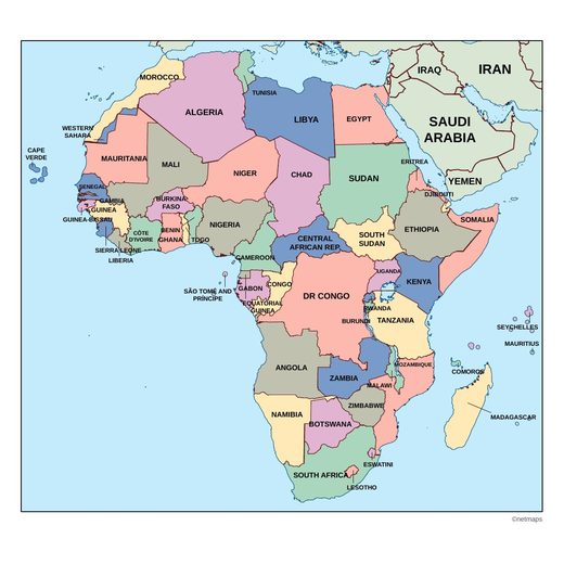
Countries of Africa · 54
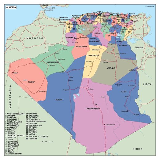
Algeria14 maps
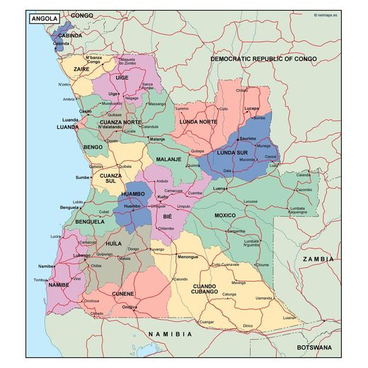
Angola13 maps
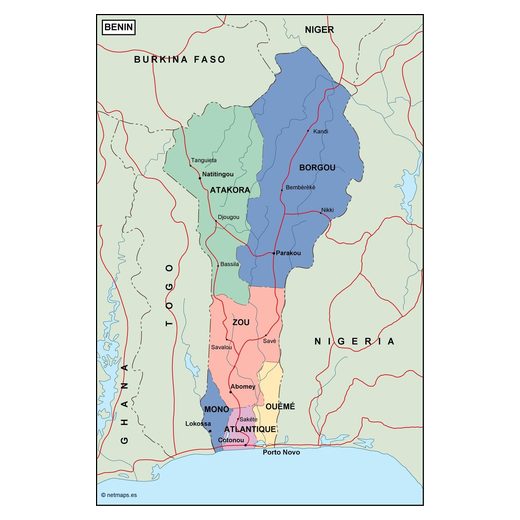
Benin14 maps
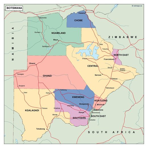
Botswana12 maps
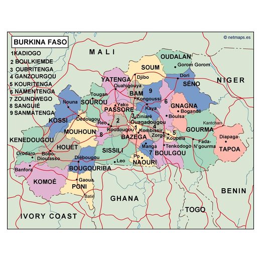
Burkina Faso12 maps
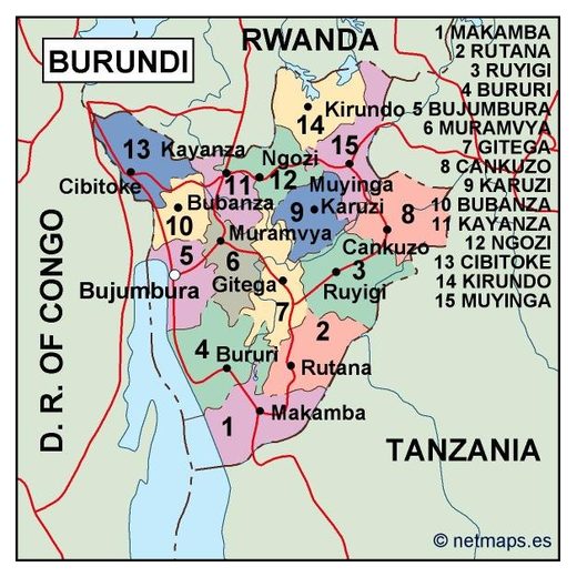
Burundi13 maps
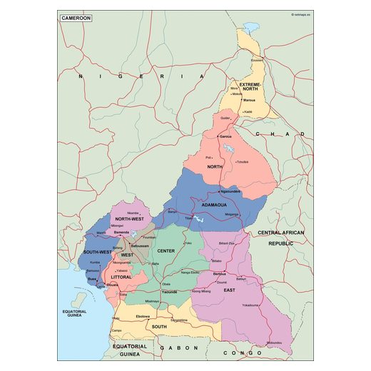
Cameroon12 maps
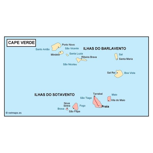
Cape Verde12 maps
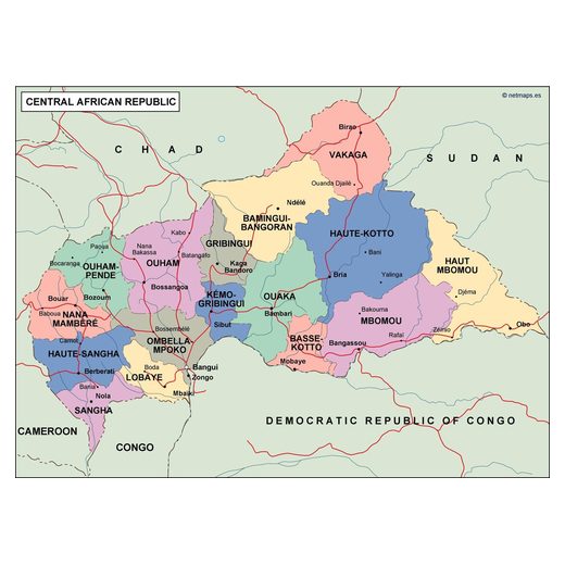
Central African Republic12 maps
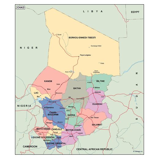
Chad12 maps
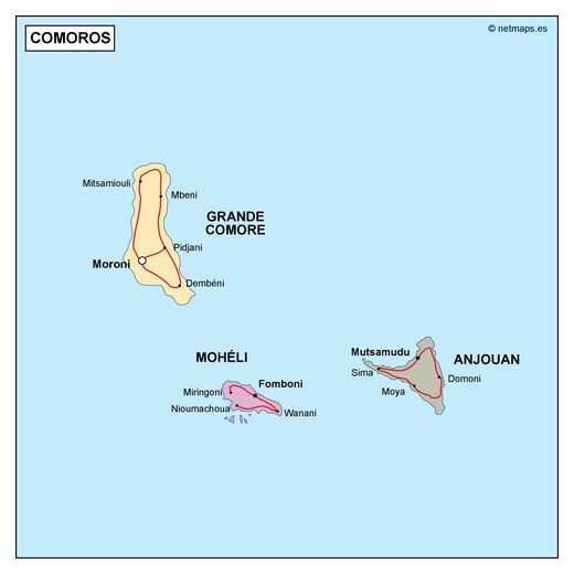
Comoros12 maps
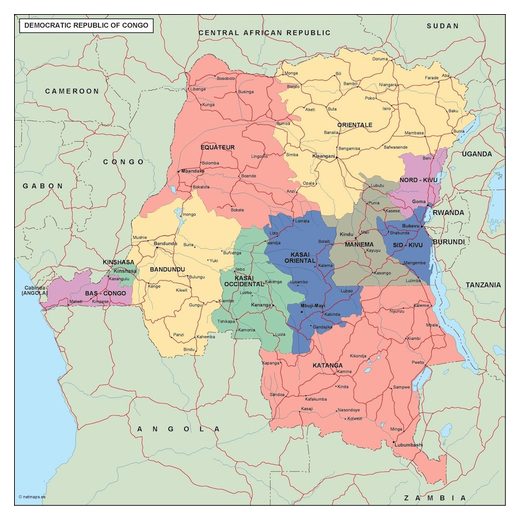
Democratic Republic of the Congo18 maps
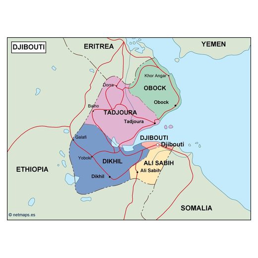
Djibouti12 maps
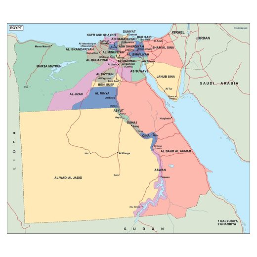
Egypt15 maps
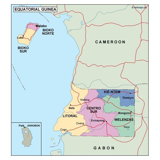
Equatorial Guinea12 maps
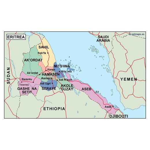
Eritrea12 maps
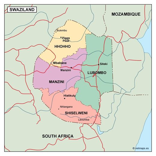
Eswatini12 maps
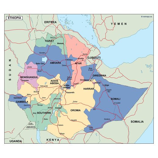
Ethiopia12 maps
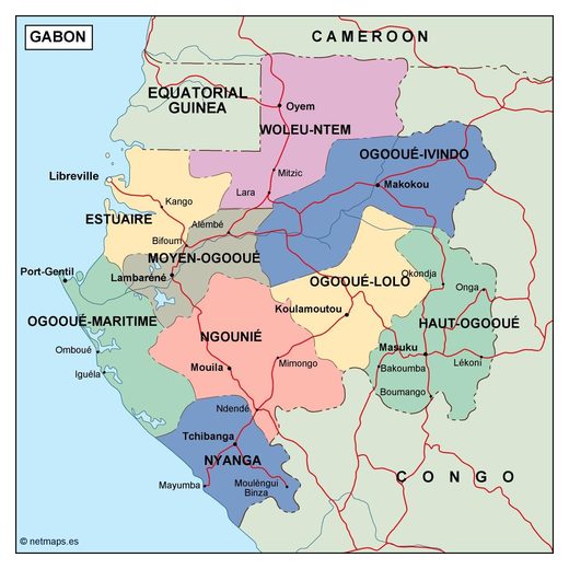
Gabon12 maps
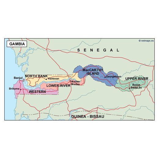
Gambia12 maps
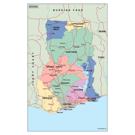
Ghana13 maps
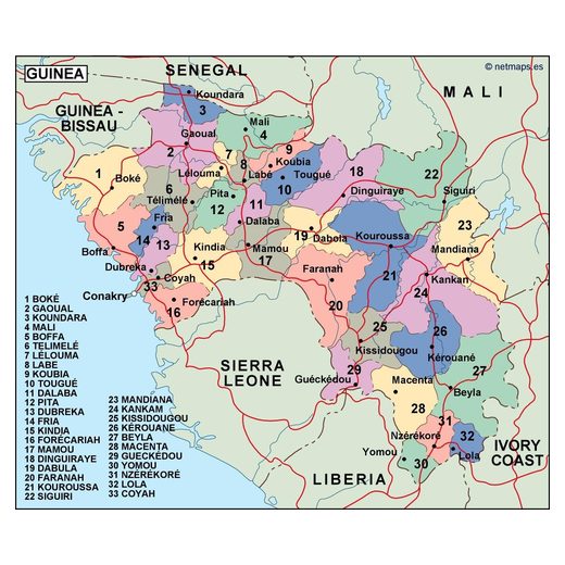
Guinea13 maps
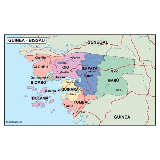
Guinea-Bissau12 maps
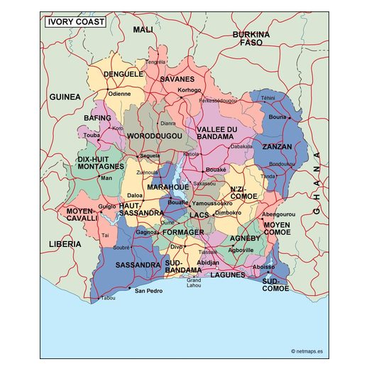
Ivory Coast13 maps
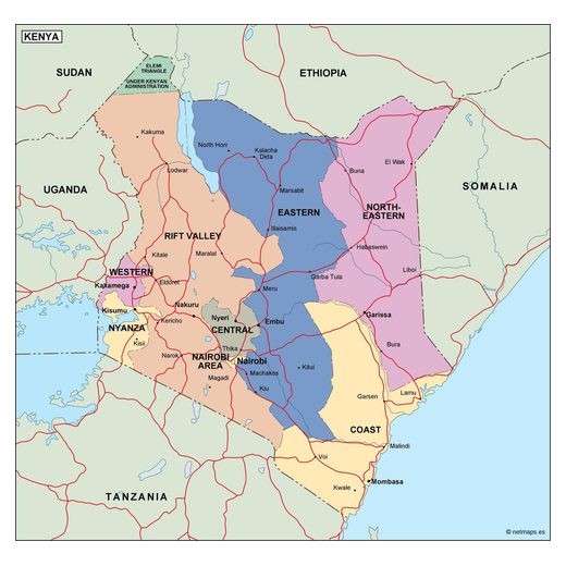
Kenya15 maps
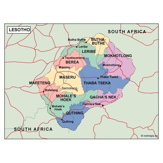
Lesotho12 maps
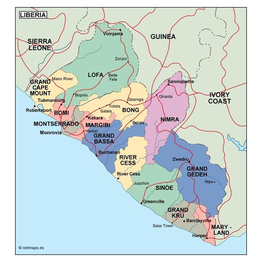
Liberia12 maps
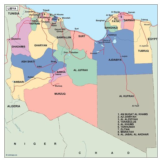
Libya13 maps
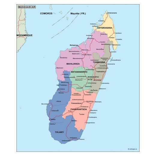
Madagascar12 maps
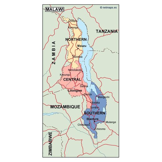
Malawi12 maps
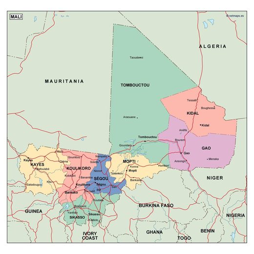
Mali13 maps
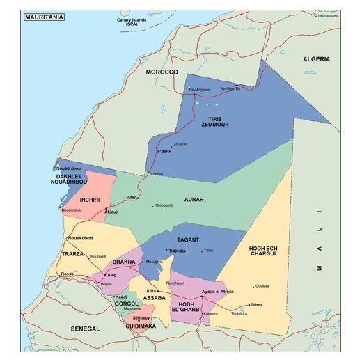
Mauritania12 maps
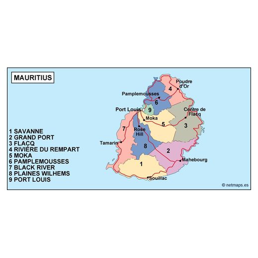
Mauritius12 maps
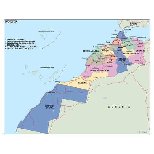
Morocco124 maps
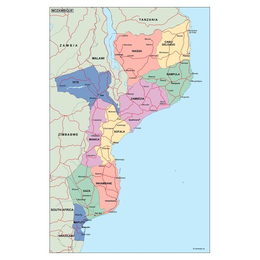
Mozambique12 maps
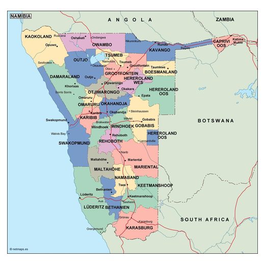
Namibia12 maps
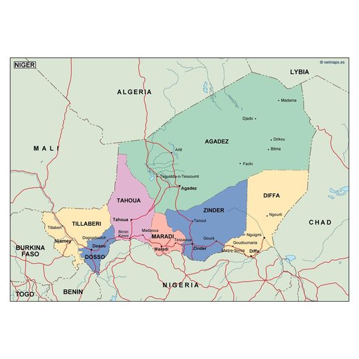
Niger12 maps
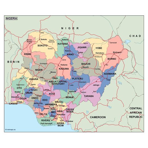
Nigeria14 maps
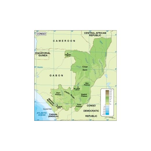
Republic of the Congo7 maps
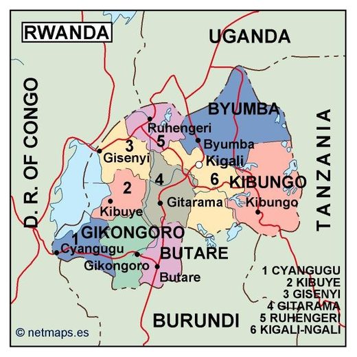
Rwanda13 maps
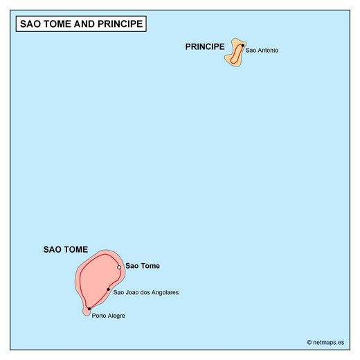
Sao Tome and Principe12 maps
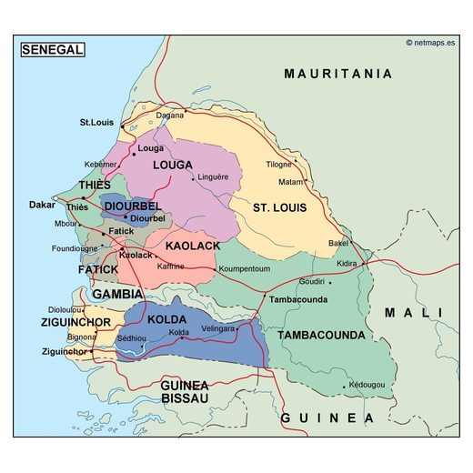
Senegal14 maps
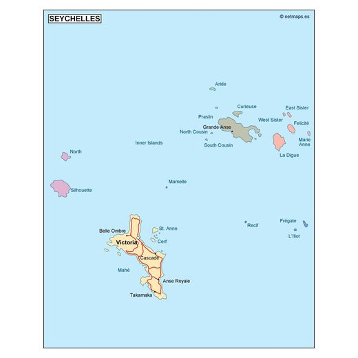
Seychelles12 maps
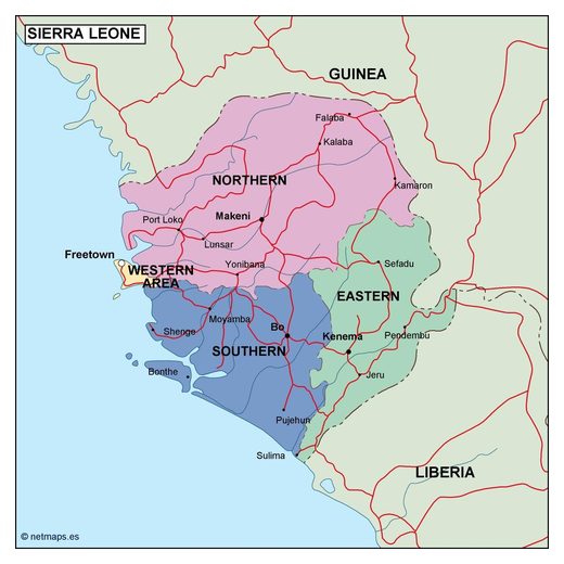
Sierra Leone12 maps
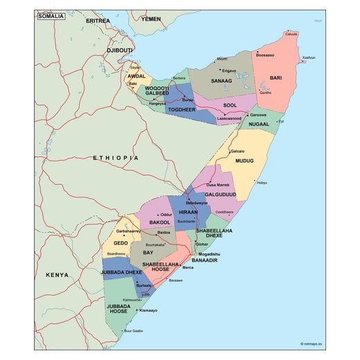
Somalia13 maps
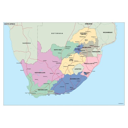
South Africa14 maps
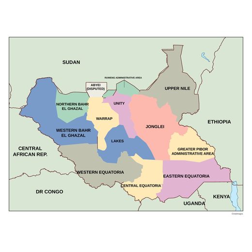
South Sudan1 map
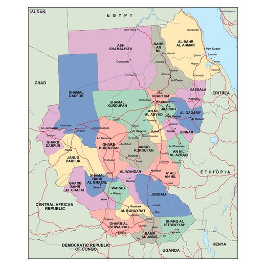
Sudan13 maps
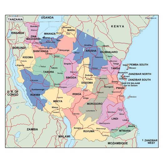
Tanzania14 maps
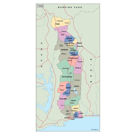
Togo13 maps
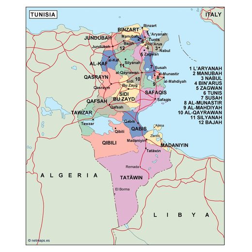
Tunisia13 maps
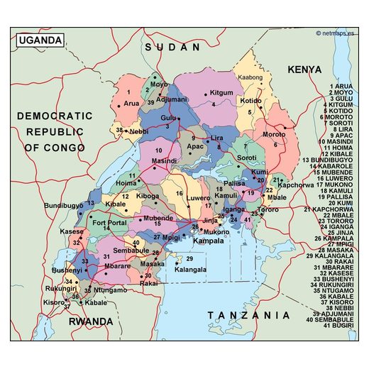
Uganda13 maps
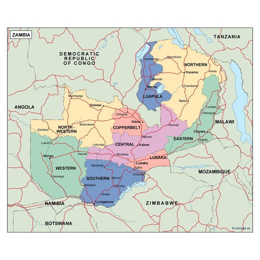
Zambia12 maps
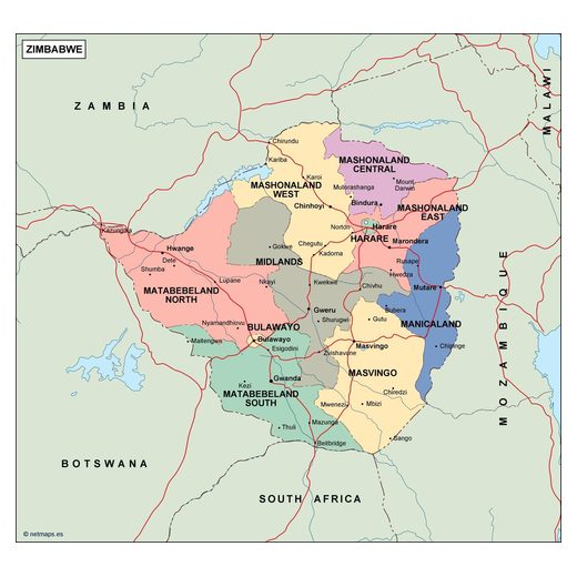
Zimbabwe13 maps
Editable vector maps of Africa
Choose a country to see all its maps: country maps, regions, city plans and thematic maps. Every map is an editable vector file for Adobe Illustrator and EPS, sent to your email within 12 hours of payment.