Home › Oceania
Vector maps
Vector maps of Oceania
99 maps of 14 countries in Oceania: political, blank, Illustrator, city, thematic and PowerPoint maps, editable in Illustrator and EPS.
Maps of Oceania · 1
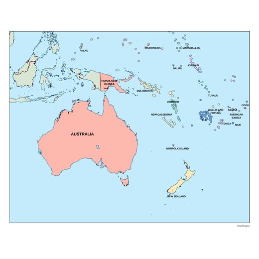
Countries of Oceania · 14
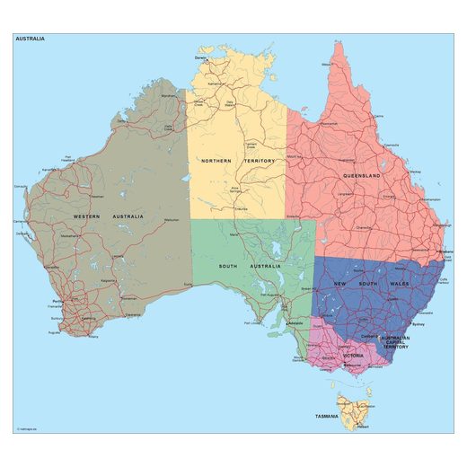
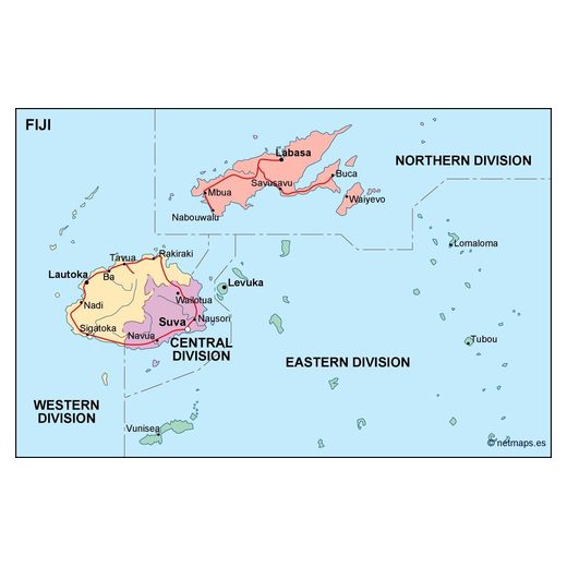
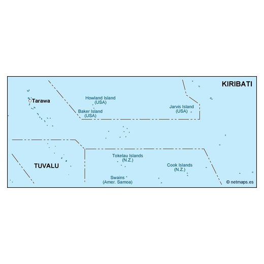
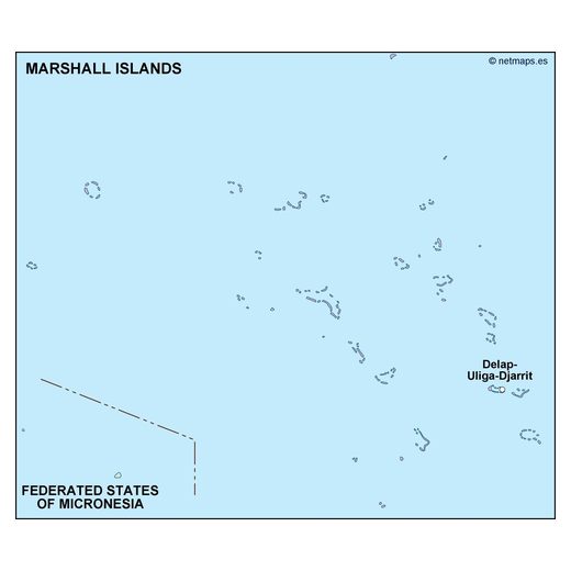
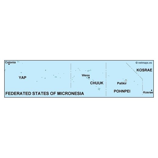
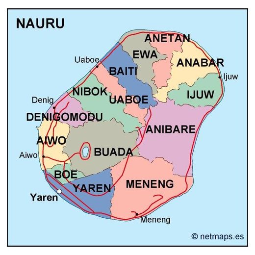
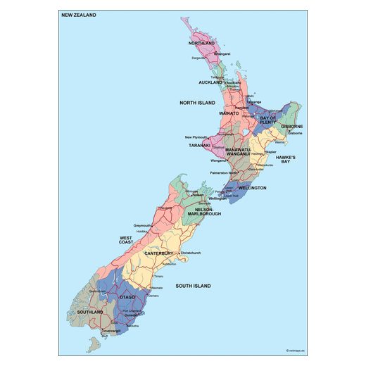
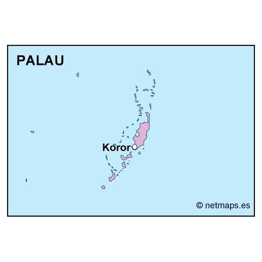
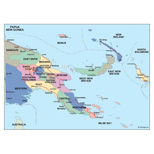
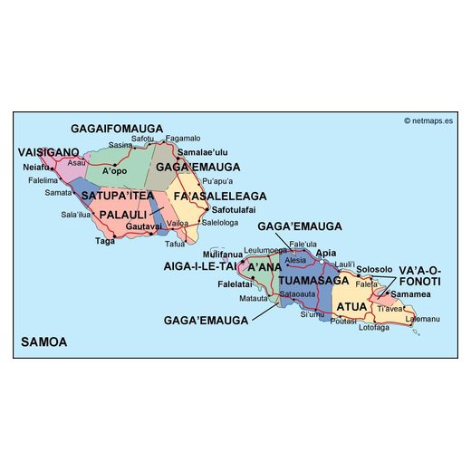
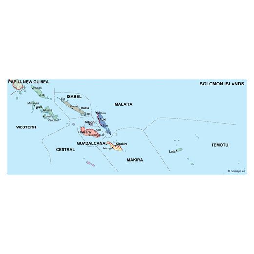
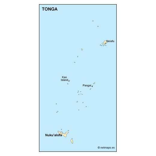
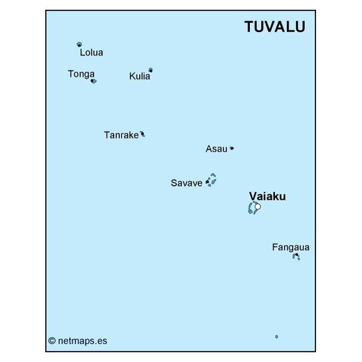
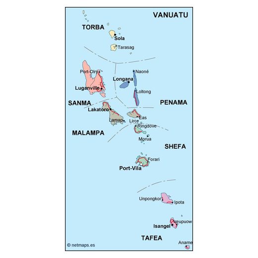
Editable vector maps of Oceania
Choose a country to see all its maps: country maps, regions, city plans and thematic maps. Every map is an editable vector file for Adobe Illustrator and EPS, sent to your email within 12 hours of payment.