Country
Vector maps of the Republic of the Congo
7 maps of the Republic of the Congo as editable vector files for Adobe Illustrator and EPS. From €18.00, delivered by email within 12 hours.
Maps of the Republic of the Congo · 1
Political, blank, Illustrator and physical maps.
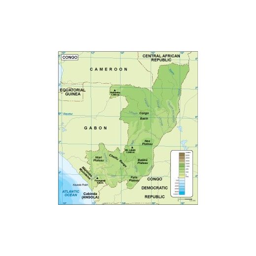
Thematic maps of the Republic of the Congo · 5
Climate, population, economy, transport and other thematic maps.
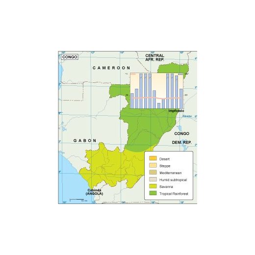
Republic of the Congo climate map
Climate map · Republic of the Congo
€65.00 AI · EPS
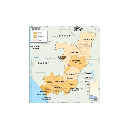
Republic of the Congo economic map
Economic map · Republic of the Congo
€75.00 AI · EPS
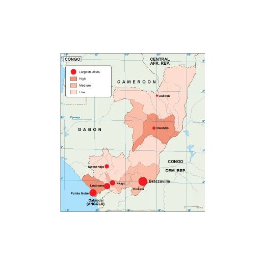
Republic of the Congo population map
Population map · Republic of the Congo
€60.00 AI · EPS
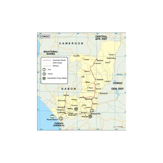
Republic of the Congo transport map
Transport map · Republic of the Congo
€55.00 AI · EPS
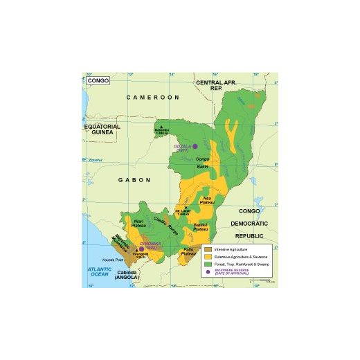
Republic of the Congo vegetation map
Vegetation map · Republic of the Congo
€70.00 AI · EPS
PowerPoint maps of the Republic of the Congo · 1
Editable maps for presentations: recolour every region in PowerPoint.
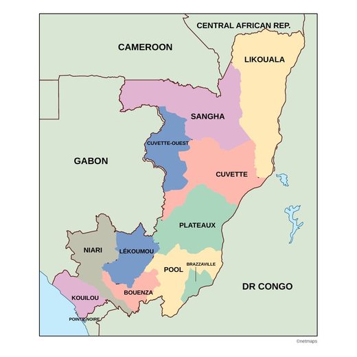
Vector maps of the Republic of the Congo
7 maps of the Republic of the Congo: PowerPoint map, climate map, economic map, physical map, population map, transport map, vegetation map. Every map is an editable vector file: change colours, fonts and labels, add your own data and scale it to any size without losing quality. After payment we send the files to your email within 12 hours.