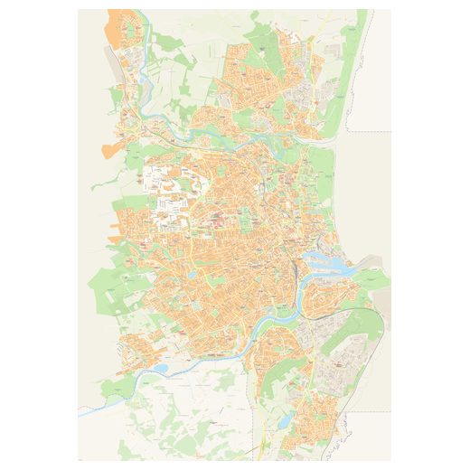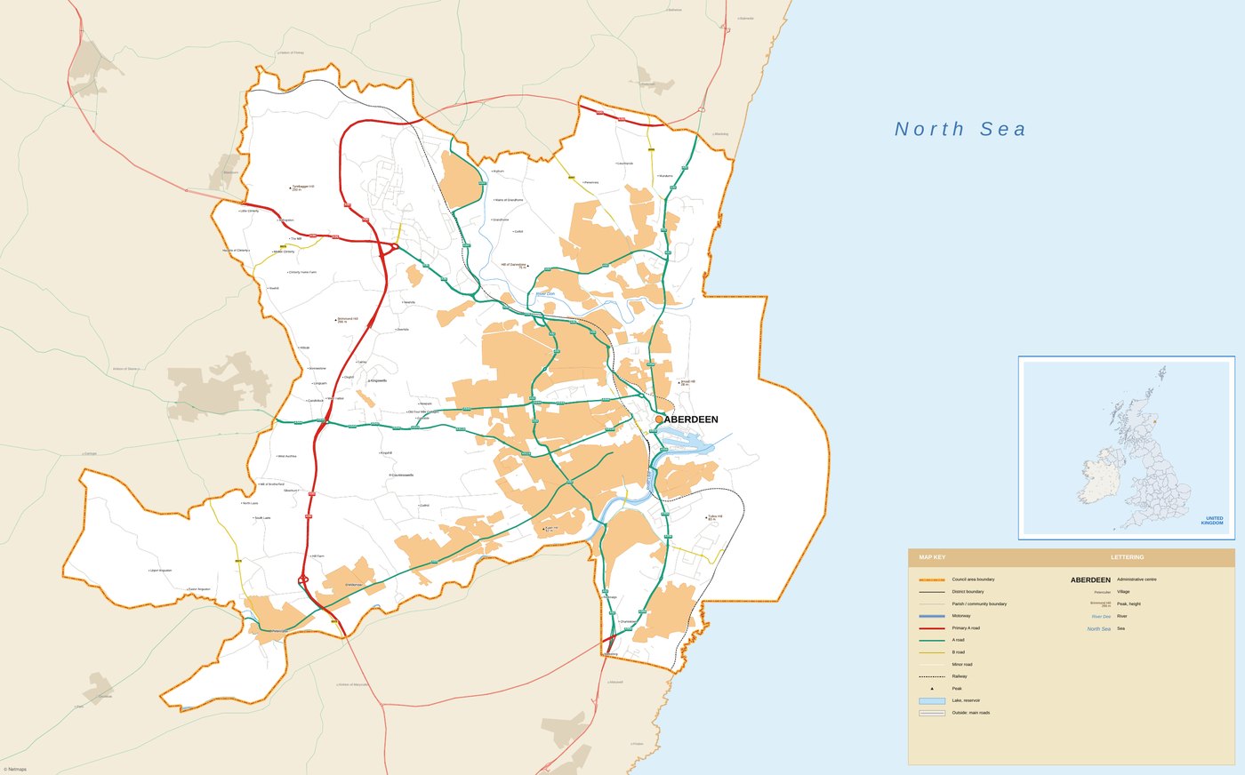
Aberdeen road map
Road map of Aberdeen (United Kingdom): motorways, main and secondary roads, minor roads, towns and villages, with its legend.
Vector PDF: opens in Adobe Illustrator, Adobe Acrobat, CorelDRAW, Affinity Designer and Inkscape. Everything is editable: roads, areas and borders, and the place names and road numbers as editable text.
Vector files can be scaled to any size without losing quality, so the same map works for print, web, presentations and large-format output. The preview shows the map you will receive. Need changes, another area or your logo on the map? Ask for a bespoke map.
Questions about this map
What exactly do I receive?
The vector PDF file of the Aberdeen road map, sent to your email with a private download link within 12 hours of payment (95% of orders in under 1 hour). What you see in the preview is what you get, fully editable.
Which programs can open it?
Adobe Illustrator, Adobe Acrobat, CorelDRAW, Affinity Designer, Inkscape and most vector programs.
Can I use it in my publications and for my clients?
Yes: you can use the map in your own projects and in work for your clients (print, web, presentations, publications). You may not resell or redistribute the digital file itself. Read the licence.
Do you issue invoices?
Yes. The price shown is the final price. If you need an invoice, tick the box at checkout or reply to the order email with your company details.
Can you modify the map for me?
Yes, we make bespoke versions: other areas, languages, colours, your branch locations or your logo. Tell us what you need.
Related vector maps
All maps of the United Kingdom